Low Level Wind Shear Alert System (LLWAS),Terminal Doppler Weather Radar (TDWR), WeatherSystem Processor (WSP), and Integrated TerminalWeather System (ITWS) display information on hazardous wind shear and microburst activity in the vicinity of an airport to air traffic controllers who relay this information to pilots.
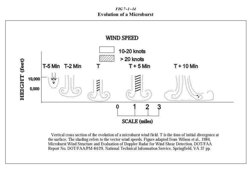
a. LLWAS provides wind shear alert and gust front information but does not provide microburst alerts. The LLWAS is designed to detect low level wind
shear conditions around the periphery of an airport. It does not detect wind shear beyond that limitation. Controllers will provide this information to pilots by giving the pilot the airport wind followed by the boundary wind.
EXAMPLE:
Wind shear alert, airport wind 230 at 8, south boundary wind 170 at 20.
b. LLWAS “network expansion,” (LLWAS NE) and LLWAS Relocation/Sustainment (LLWAS RS) are systems integrated with TDWR. These systems provide the capability of detecting microburst alerts and wind shear alerts. Controllers will issue the appropriate wind shear alerts or microburst alerts. In some of these systems controllers also have the ability to issue wind information oriented to the threshold or departure end of the runway.
EXAMPLE:
Runway 17 arrival microburst alert, 40 knot loss 3 mile final.
LLWAS只能探测风切变。和TDWR结合后可以探测微爆下击气流。